Reeth to Langthwaite
A wonderful circular walk from Reeth to Langthwaite, heading out of the West side of the beck and returning on the East side.
We left Reeth walking via the road towards Langthwaite. After about half a mile, passing over the cattle grid there are a few houses with a public foothpath sign pointing into the fields towards Langthwaite. There was a sign on the post saying that there could be a bull in the field. Fortunately, on this occasion there wasn’t.
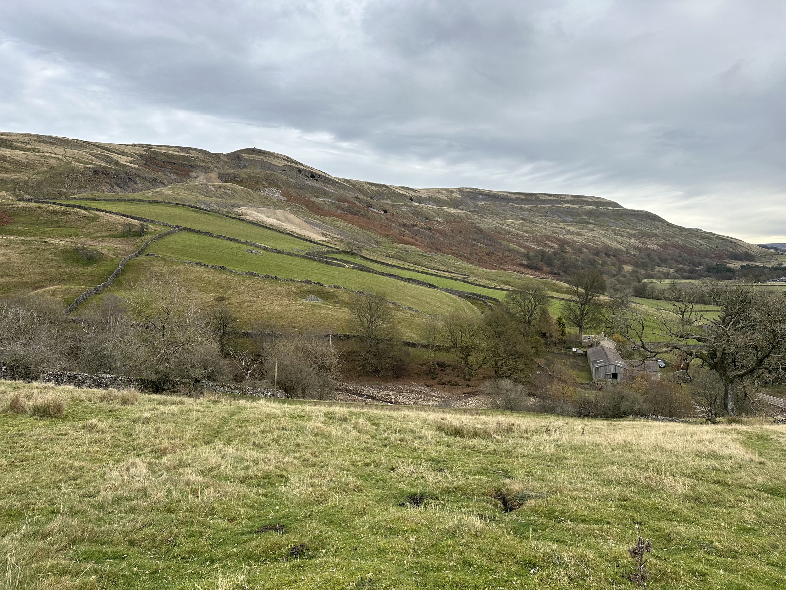
Looking towards Fremington Edge.
We followed a series of fields, crossing stone walls and through gates continuing to head towards Arkle Town. There were a lot of sheep on the route, but all appeared to be used to people and dogs walking through the fields. We continued on the West side of the beck into Arkle Town then followed the road down into Langthwaite.
On reaching Langthwaite, we followed the road over the bridge and through the village heading towards Booze.
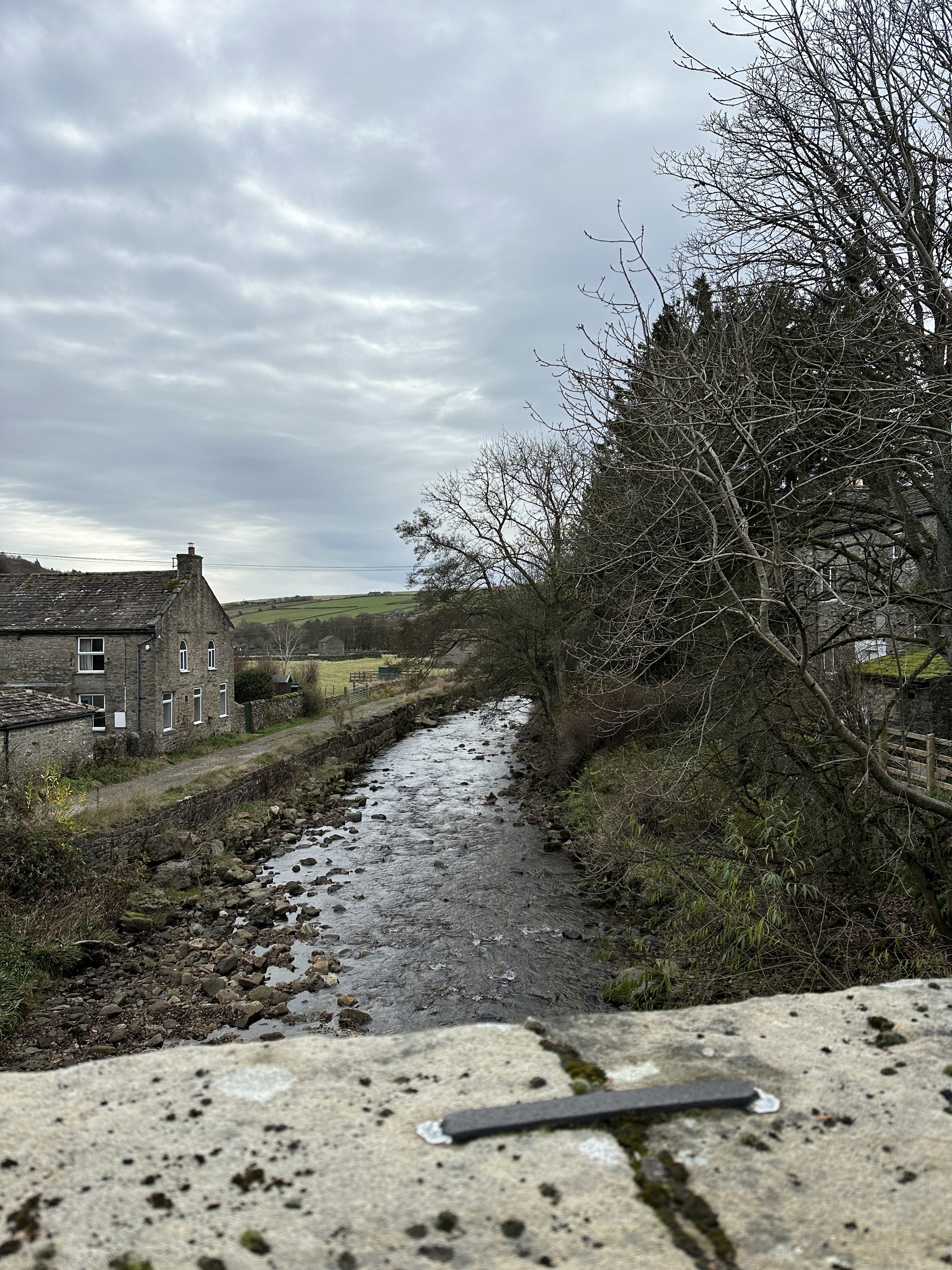
Crossing the bridge in Langthwaite.
From here we climbed, via a single track road all the way to the Booze. Beautiful views were enjoyed back across the valley as we continued upwards.
On arriving in Booze, which is a tiny hamlet, we returned to walking through fields following the footpaths back towards the beck, only this side we were on the East side.
Once back at the beck, we picked up the public bridleway, taking the slightly higher route than the public footpath and enjoying the views.

Looking along the bridleway from Fremington
From here the route was relatively straightforward, following the public bridleway back to Fremington, and then picking up the public footpath back to Reeth.
Walk distance: 8.1 miles.
Elevation (total ascent): 358m.
Parking: Free parking around Reeth village green, DL11 6SG.
Navigation: Moderate. Definitely worth having a map to follow. Phone signal was relatively good and we were able to use the OS maps on the phone alongside the paper map.
Map: OL30
Terrain: Mixed terrain - fields and tracks.